
Phobrang, Ladakh
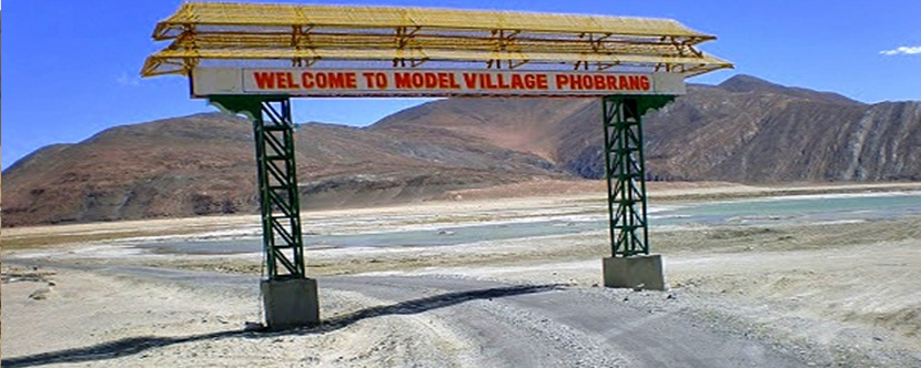
Phobrang is a village in the Indian union territory of Ladakh. It's located near Lukung, on the way to the Indo-China border at the Hot Springs. The geographical coordinates of Phobrang are 34° 4' 0" North, 78° 27' 0" East.
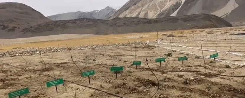
Phobrang has a monsoon-influenced subarctic climate. It's home to India's highest herbal garden, which is located at an altitude of 15,000 feet above sea level.
Altitude
14,500 ft
Population
143
Nearest Airport
The nearest airport to Phobrang, India is Kushok Bakula Rimpochee Airport in Leh, which is 83 km away.
Nearest Roadway
The village is connected to all parts of Ladakh by road.
Nearest Attractions


Subscribe to Our Newsletter
If you Subscribe to our newsletter, we’ll send you the best deals for you and updates.